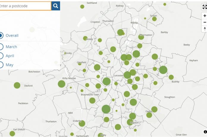
The interactive map below allows you to see how many coronavirus deaths there have been in your local area.
The map has been updated by the Office for National Statistics, and shows all deaths that occurred where Covid-19 was the underlying cause or mentioned on the death certificate as a contributory factor.
It is the most detailed picture of how Covid-19 has been affecting your neighbourhood so far and includes deaths occurring between 1 March 2020 and 30 June 2020 and registered by 11 July 2020.
The areas with the biggest deaths in Leicester so far include South Aylestone, Wigston, Belgrave, Thurnby Lodge and the West End of the city.
Enter your postcode below to see the number of deaths in your area. The size of the circle represents the number of deaths.
There were a total of 46,210 Covid-19 related deaths in the UK as at Monday 3 August.
To keep up with all the latest news, please like our Facebook page or join our Leicestershire Breaking News group.


